

Professional Surveying Services in:
Mapping
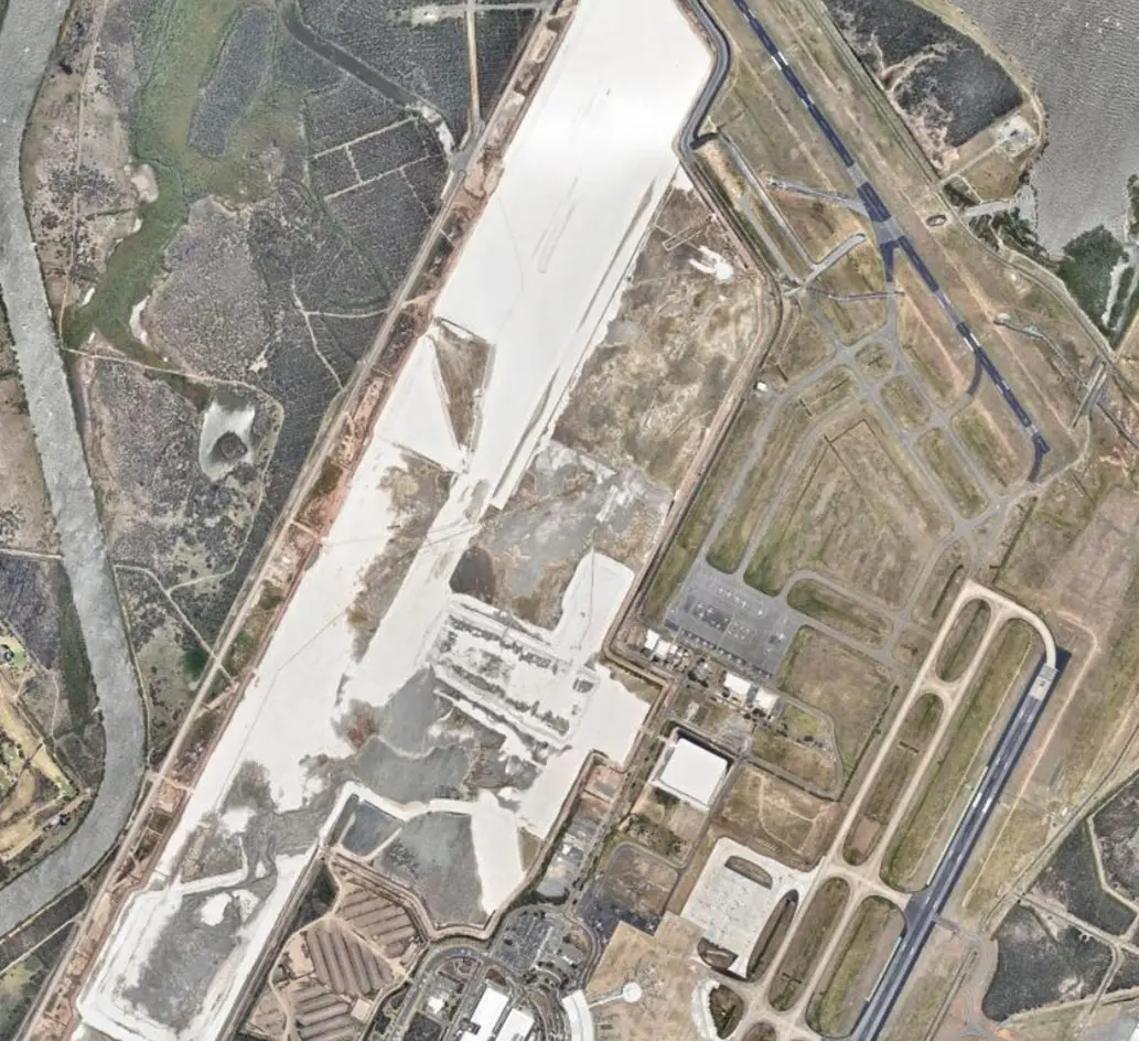
With their expertise BJNorth provide large scale and small scale mapping service Australia wide.
The collected information allows the production of highly accurate data and 3D models. Covering large areas in a much shorter time span, the application of this technology fits favourably with areas such as quarries, mines, stockpiles, large infrastructure projects, sites with access difficulties and inhospitable terrain.
BJNorth provide combined surveying & mapping services utilizing the latest resources and technologies:
- Terrestrial Laser Scanning (long range and short range)
- Unmanned Aerial Vehicles (UAV) for photogrammetry (small projects)
- Unmanned Aerial Vehicles (UAV) for LIDAR (small projects)
- Conventional aircraft for photogrammetry
- Conventional aircraft for LIDAR capture
- GPS/GLONASS Surveys
- Conventional Surveys (Robotic Total Stations)
BJNorth Mapping Survey Services For:
Exploration
Mapping mine surfaces for volumes and production planning
Stockpile mapping for volumes
Topographic mapping
Infrastructure corridor
Large infrastructure projects
Investigation or route selection
Concept Design
Engineering designs
Asset Management
Emergency rehabilitation
Flood studies
Aerial photography
Photogrammetry for Surveying and mapping to ascertain measurement between objects
Airborne laser scanning for highly accurate and efficient capture of 3Ddata of large areas including agriculture, forestry, urban areas, industrial sites.